SIRIUSGCS
A web-based system that automates inspection tasks
by leveraging a 3D point cloud map built with LiDAR
From anywhere with an internet connection,
you can control drones and manage on-site operations through SIRIUS.
Process


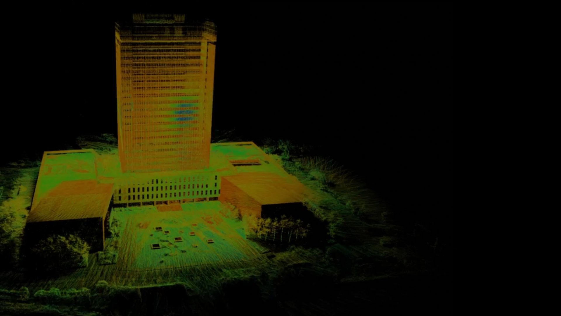
Create an on-site 3D map
A drone pilot manually flies the drone to acquire a 3D point cloud map of the facility using LiDAR.
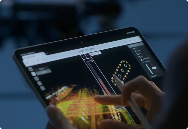
Create a route for facility inspection
Using the acquired 3D point cloud map, designate inspection points and generate an automated route.
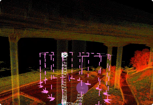
Capture imagery for facility inspection
The drone flies along the automated route and captures images of the facility.
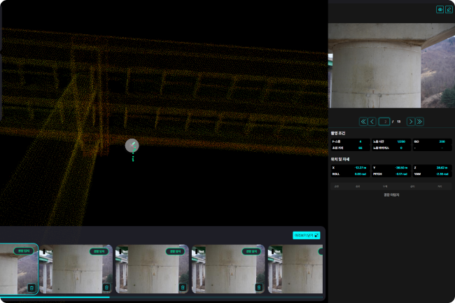
Analyze facility damage
Based on the captured results, the AI analysis server automatically analyzes damage to the facility, and you can review the results on the web.
Available Solutions
-
 Buildings
-
 Bridges
-
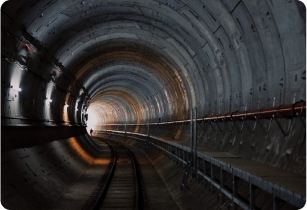 Tunnel
-
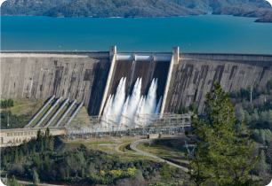 Dam
Dam
-
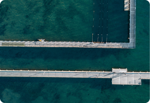 Ports/Coastal Areas
-
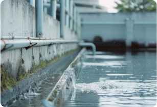 Water and Sewage Systems
-
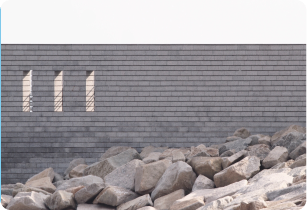 Retaining Walls/Slopes